
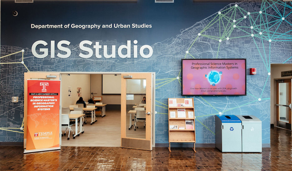
Geospatial data informs everything around us, from the infrastructure of our cities to our public health and environmental initiatives. Geographic information systems (GIS) are the tools that allow us to collect, analyze and visualize that data. For the past decade, Temple University’s Department of Geography, Environment and Urban Studies has been on the cutting edge of GIS education, offering a Professional Science Master’s (PSM) in GIS that prepares students with the core skills and professional acumen to step into advanced technical roles.
Authorities in the field have recognized the program’s commitment to innovation. Esri, the industry leader in GIS software, recently spotlighted our program on its website.
For undergraduate students interested in GIS, the department offers a GIS Undergraduate Certificate and an Accelerated +1 path to get a head start on your PSM. Each of Temple’s GIS programs trains students in state-of-the-art software and tools used in the field, as well as methods for obtaining and implementing data. Research opportunities are available through the Spatial Analytics Lab at Temple (also known as SAL@T). As of 2024, 96% of Temple students who received a PSM in GIS or Geospatial Data Science were working in GIS or data-related positions.
Through the CLA academic advisors, I discovered introductory mapping courses, which helped me further explore my passions in geography. I have been able to pursue my passions and uncover new opportunities through my mentors and network in CLA and the Geography, Environment, and Urban Studies department. My GEnUS network helped me land my job with Pennoni, as well as find internships and research opportunities to explore my professional interests. - Reeya Shah '25, double major in Geography & Urban Studies and Spanish (Linguistics and Literature), with a GIS certificate