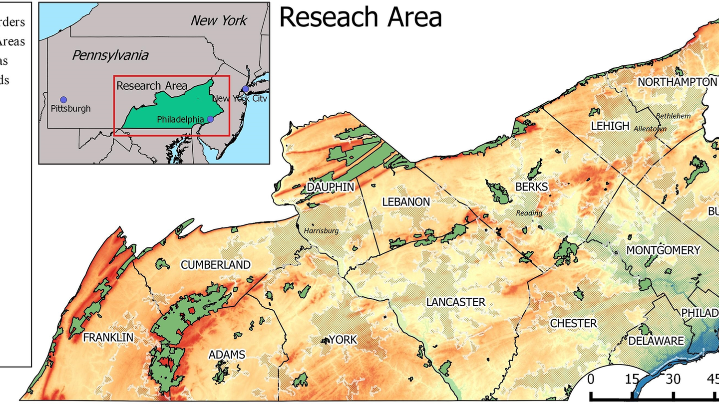
A recent publication provides new evidence of drivers influencing the spatial distribution of invasive disease species. Traditionally, scientists have used environmental data such as temperature, precipitation or vegetation to predict the area occupied by a given species. The paper, written by members from three colleges at Temple University, including Daniel Wiese (first author), Victor Gutierrez (senior author) and Kevin Henry from the GUS department, uses freely available data sets to show that in addition to environmental variables, neighborhood conditions such as population density and imperviousness contribute to understand geographic patterns in the distribution of A. albopictus mosquito in South East Pennsylvania.
A. albopictus, known as the tiger mosquito, is one of the ten most invasive species globally and is a viable vector for the transmission of several infectious diseases including (Zika, Chikungunya, Dengue and West Nile Virus and others). The knowledge provided by this publication is relevant to both academia and others working or interested on disease prevention and mitigation such as public health officials.
The paper is entitled "Integrating environmental and neighborhood factors in MaxEnt modeling to predict species distributions: A case study of Aedes albopictus in southeastern Pennsylvania". It was made possible thanks to the support of the office of the vice president of research and the College of LIberal Arts through the Targeted Funding Program. Temple Libraries also provided funding to cover publication costs. The paper was published and can be accessed in the open access journal PLOS ONE.