Expertise
Open Source GIS, Open Data, Urban Economic Geography, Spatial Analysis, Residential Location, Segregation, Local Public Finance, Suburbanization and Sprawl, Metropolitan Governance, Spatial Justice
Biography
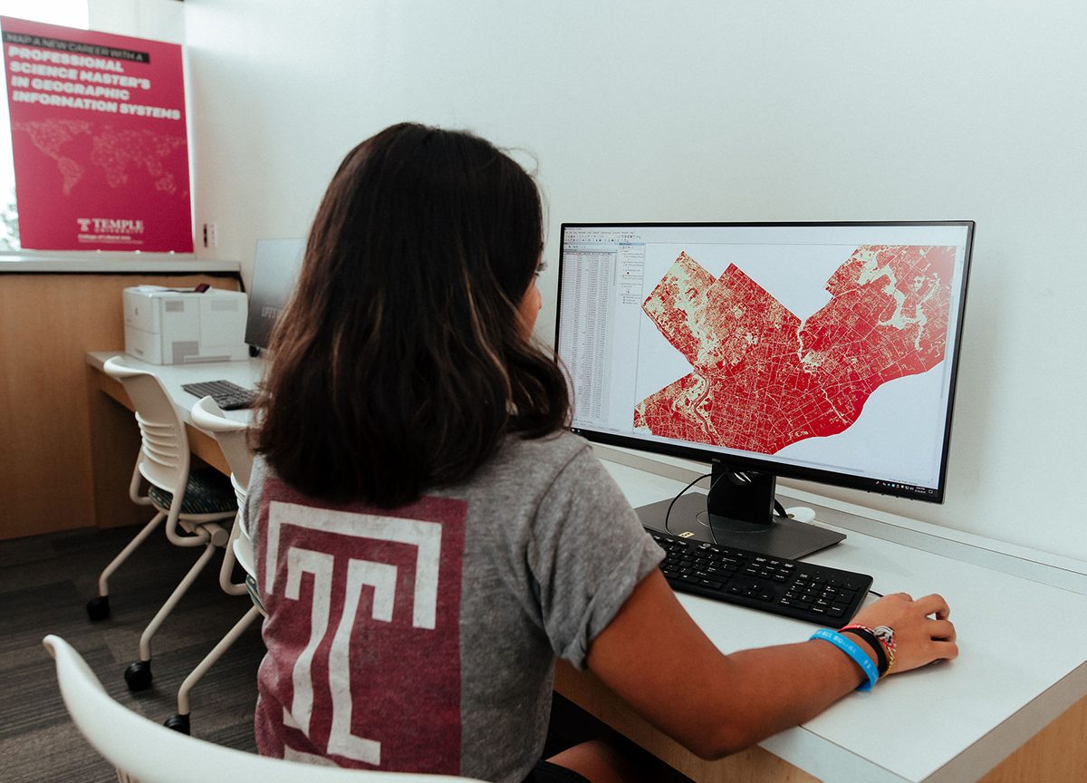
I am an assistant professor of instruction in Temple University’s Department of Geography & Urban Studies, and the assistant director of the professional science master’s in geographic information systems, where I coordinate curriculum, advise students, and teach introductory and advanced courses in GIS. I worked as a database and software developer for 11 years before beginning graduate studies in GIS and geography. My research is broadly concerned with applying geospatial technologies to urban and demographic analysis. My teaching and research heavily emphasize the use of free and open source software. Technological projects in spatial database design and geovisualization are motivated by my use of demographic and economic data to address substantive questions in residential location, sprawl, spatial inequality, racial segregation, and spatial justice. My research investigates the Tiebout model, the theory that households will “vote with their feet” to move to the local government that best matches their preferences for local public services. In published research I have shown that in areas with incongruent school and municipal boundaries, municipalities are stronger “containers” for income segregation than school districts.
I am extending this into an investigation of differences in segregation and inequality between regions where municipal and school district borders are congruent and those where they are not. A recent project investigates scale and spatiality in measures of segregation. Segregation measures are heavily influenced by the shapes and sizes of the population enumeration units. While segregation is an inherently spatial phenomenon, commonly used segregation measures such as the index of dissimilarity are oddly aspatial. In response, geographers have proposed spatially adjusted local and global measures of segregation. My research continues in this vein. Overall my teaching, research, and outreach are motivated by a deep love of cities, and an interest in all aspects of their functioning. I am lucky to be working in an era where access to data is increasingly open. I support the use of open data to increase civic engagement including crucial citizen interventions in urban planning and policy. I am active in local technology organizations, and invite inquiries from community and civic groups interested in learning how to apply open data and free software to their questions and needs.
Selected Publications
- Hachadoorian, Lee. 2016. “Homogeneity Tests of Tiebout Sorting: A Case Study at the Interface of City and Suburb.” Urban Studies 53 (5): 1000–1021. doi:10.1177/0042098015571808. http://usj.sagepub.com/content/53/5/1000
- Hachadoorian, Lee, Stuart R. Gaffin, and Robert Engelman. 2011. “Projecting a Gridded Population of the World Using Ratio Methods of Trend Extrapolation.” In Human Population, edited by Richard P. Cincotta and Larry J. Gorenflo, 214:13–25. Berlin, Heidelberg: Springer Berlin Heidelberg.
Courses Taught
- Spatial Database Design (PostGIS-based)
- GIS Application Development (Python-based)
- Census Analysis with GIS
- Geovisualization
- Fundamentals of GIS
- GIS Ethics and Professional Practice
Media Mentions

Temple’s PSM in GIS Changes Career Trajectories
By Grace Shallow
Joshua Sonntag landed a job at his dream company just days after graduating from Temple's PSM in Geographic Information Systems program.

